
Noord Saliña & Amboina
Traditional residential areas around northern Kralendijk, centrally located yet distinctly local and predominantly residential.
History
The name Noord Saliña refers to its position north of the salt pans; the name Kunuku Bieu also appears on a nineteenth-century map. Statistics Netherlands classifies Amboina within Entrejol/Antriol. Their combination on this site reflects how adjacent areas are often compared in practice rather than a single official district boundary.
Character and living
Its position between Playa, Antriol and the northern residential areas keeps many daily journeys relatively short. Building form and streetscape vary, with denser traditional sections and more spacious, newer development.
Sights
- Traditional Kunuku Bieu area
- Neighbourhood services and local food
- Connections to Playa, Hato and Seru Largu
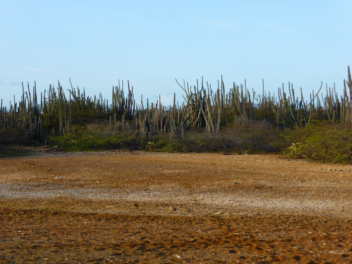
- Dry cactus and kunuku landscape at the edges
Beaches nearby
- The district itself is not on a sandy beach.
- Playa Lechi and the west coast are readily accessible through Hato.